1175 to today
The history of Pateley Bridge
A crossing of the River Nidd for centuries, a market town since 1320, and the only town inside the Nidderdale National Landscape.
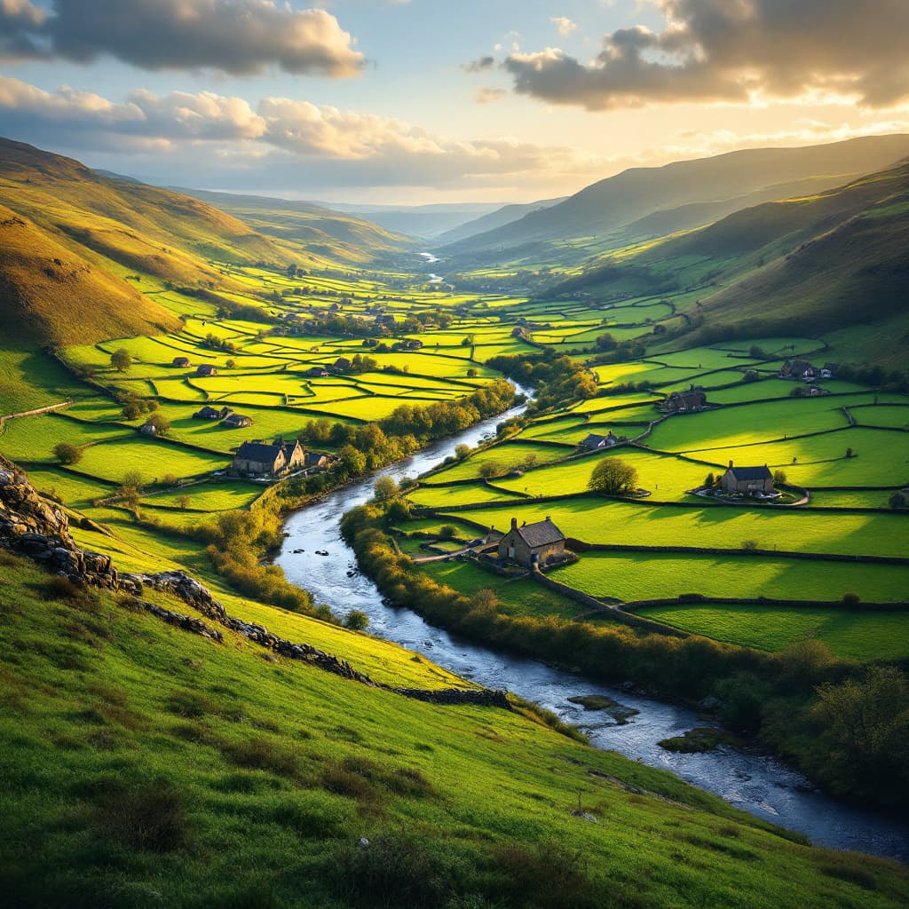
Pateley Bridge takes its name from the bridge over the River Nidd that has stood here, in one form or another, for as long as anyone has kept records. The settlement first appears in writing in 1175 as "Pateleie", probably meaning a path through a clearing by the river. Long before that, the dale would have been crossed at this point simply because the valley narrows here and the river is fordable, making it the natural place to build a bridge and let a town grow up around it.
The town's real beginning as a place of trade came in 1320, when Edward II granted a market charter. That single document turned a riverside crossing into a destination: traders, drovers and farmers from across upper Nidderdale began bringing produce and livestock to a weekly market on the High Street, a tradition that still continues today on Saturdays. The steep High Street climbing away from the bridge, lined with stone buildings from several different centuries, is largely a product of that medieval trading status.
From the 17th century onwards, the moors above the town became one of the most productive lead mining areas in the Yorkshire Dales. Veins of lead ore running through the gritstone and limestone were worked by hand for two hundred years, supporting smelt mills, flues and a scattered population of miners' cottages on the high ground. The industry brought real wealth into the dale, much of it visible in the better stone houses of the period, but the work itself was harsh and often shortened lives. Cheaper imported lead in the second half of the 19th century gradually killed the trade, and by 1900 most of the workings above Pateley Bridge had fallen silent, leaving the ruined flues and spoil heaps that walkers still find on the open moor.
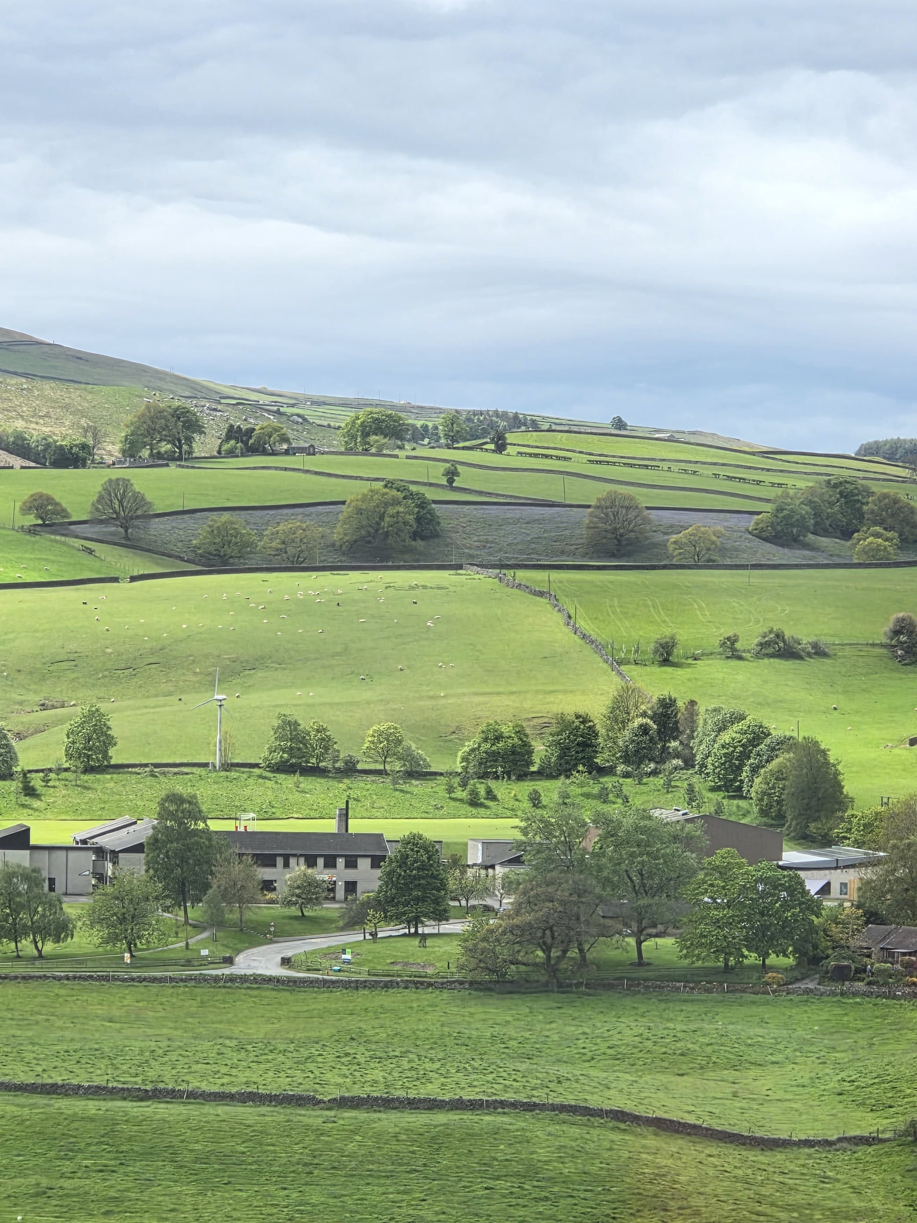
As lead mining declined, water took over as the dale's major export. Bradford Corporation needed a guaranteed supply of clean water for its rapidly growing mill town, and Nidderdale's steep-sided valleys were ideal for damming. The Nidd Valley Light Railway opened in 1907 to carry men and materials up the dale to the reservoir works at Angram and, later, Scar House, running until the 1930s. Long after the railway closed, the reservoirs it served are still in use, and its old trackbed now forms part of the walking and cycling routes beside Gouthwaite Reservoir.
Through all of this, Pateley Bridge has kept its identity as a small, independent market town rather than growing into something larger. The High Street still has almost no chain retail, the Saturday market still runs, and the Old Sweet Shop has traded continuously since 1827, a claim to being the oldest sweet shop in the world. Today the town is the only one within the Nidderdale National Landscape, and remains, much as it was in 1320, the natural meeting point for the dale around it.
SEE IT FOR YOURSELF
This history comes alive on the ground. Plan a visit with opening times, directions and what to see.