Ice age to National Landscape
The history of Nidderdale
How a glacier-carved dale became a centre for lead mining, then water engineering, then protected landscape.
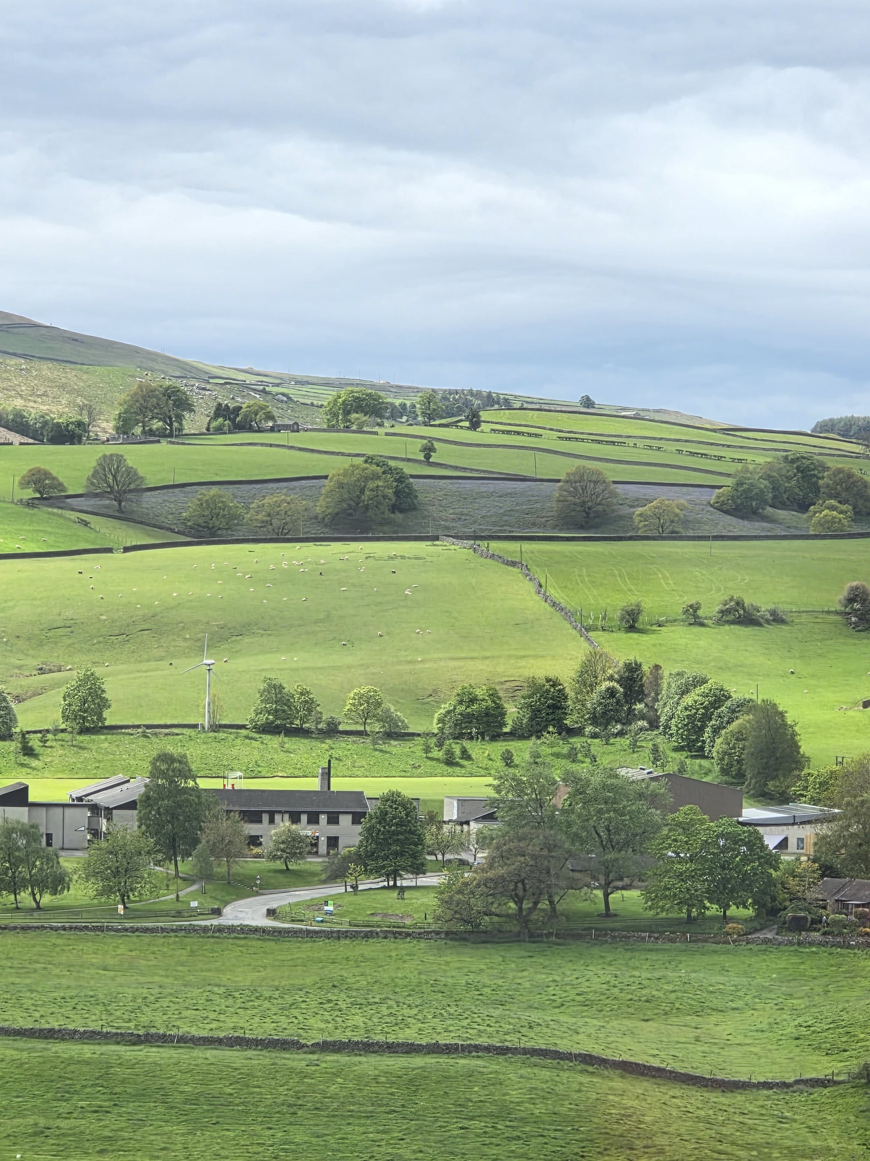
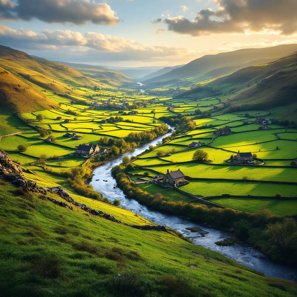
The valley that gives Nidderdale its shape was carved by glaciers during the last ice age, which scoured out the steep-sided profile that makes the dale feel more dramatic than its modest height above sea level might suggest. The River Nidd itself, fed by countless becks running off the surrounding moorland, has spent the millennia since carrying meltwater and sediment down towards the Vale of York, gradually shaping the flatter farmland nearer Pateley Bridge.
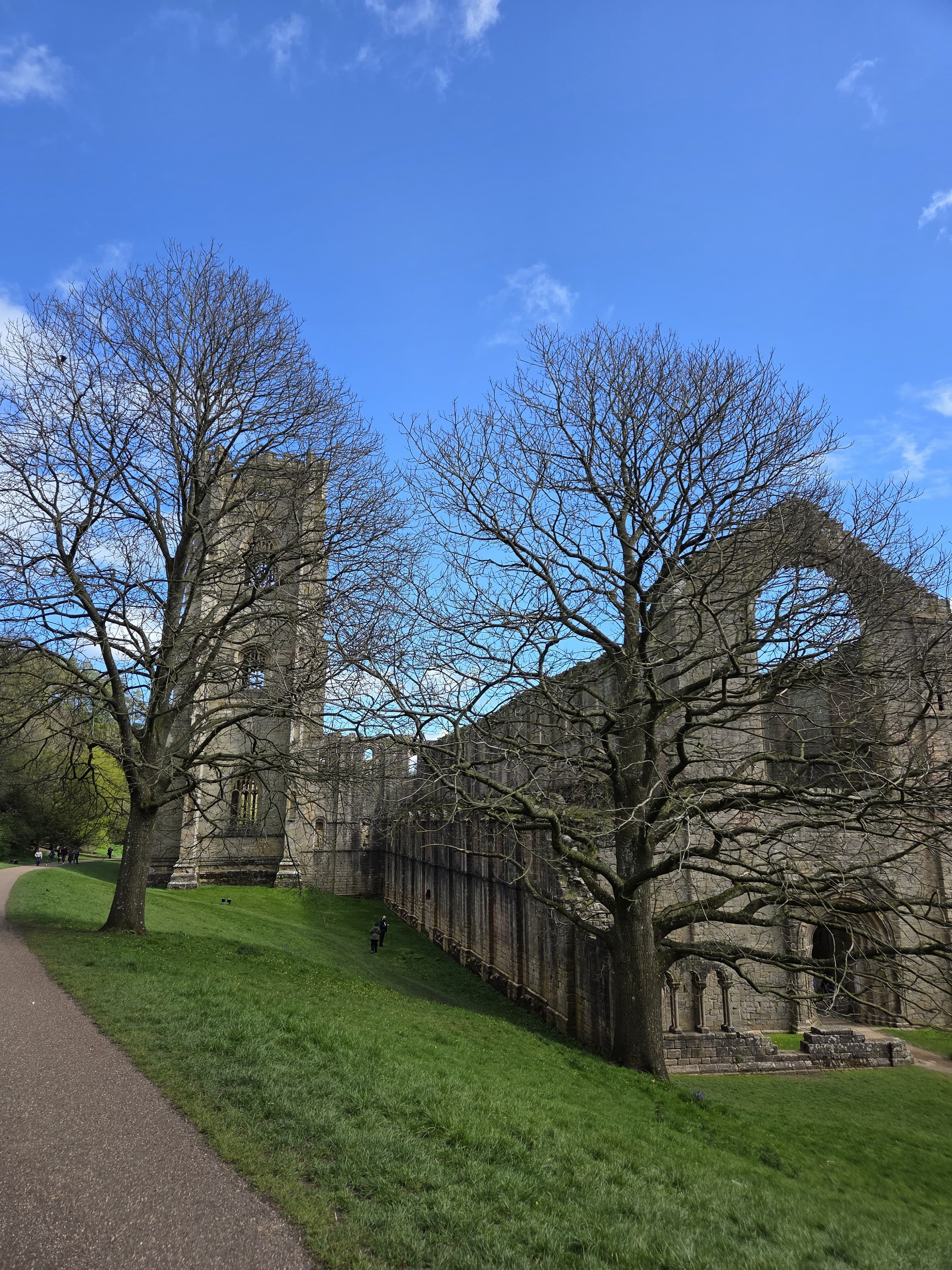
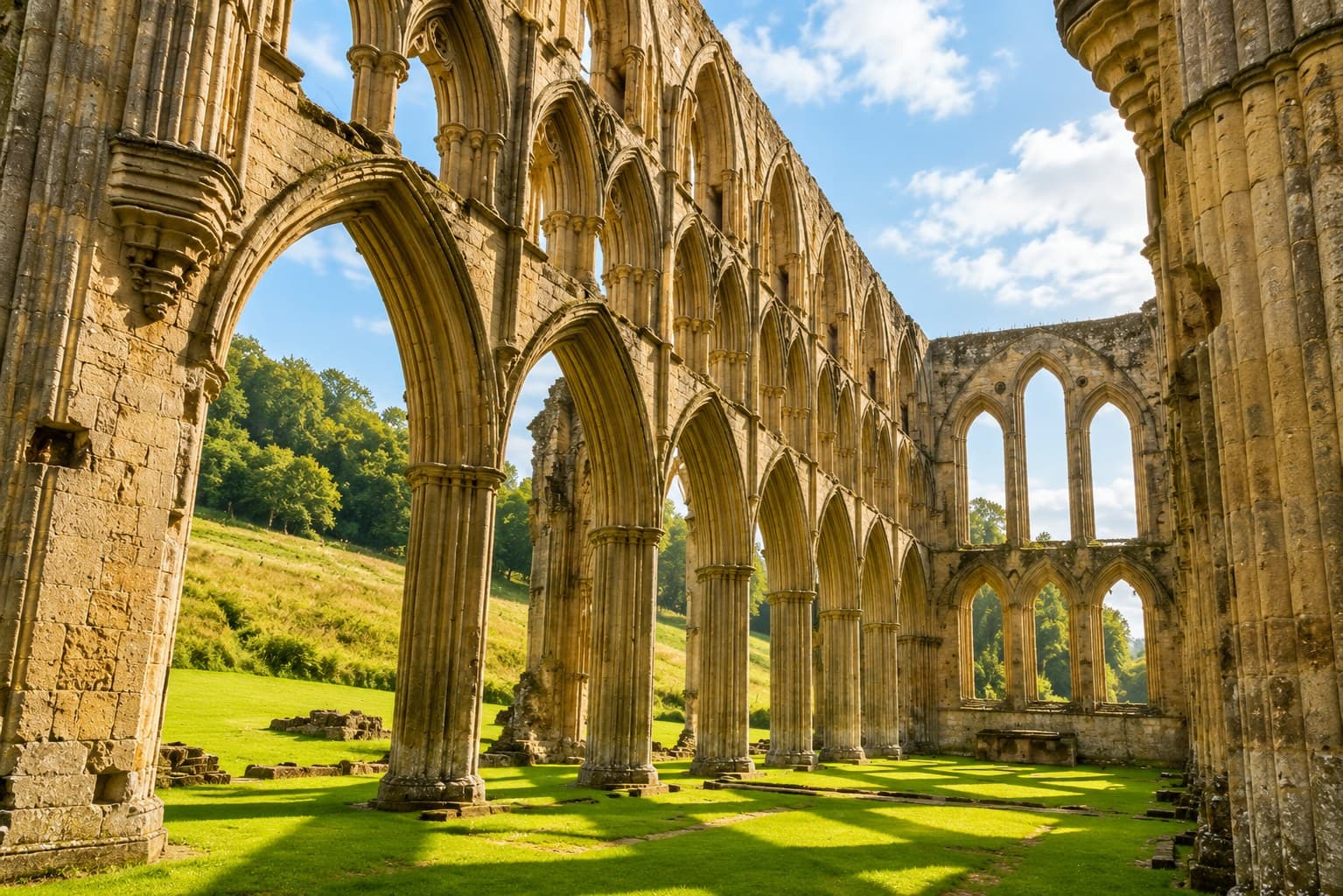
For most of its early history Nidderdale was sparsely populated moorland and rough grazing, valuable mainly to the monasteries that controlled huge tracts of land across the Yorkshire Dales in the medieval period. Fountains Abbey, twelve miles down the valley, held granges and sheep walks reaching well up into Nidderdale, and the dale's wool helped fund the abbey's spectacular building campaigns before the Dissolution brought monastic control to an end in the 1530s.
Lead mining transformed the upper dale from the 17th century onwards. Veins running through the high ground above Pateley Bridge, Greenhow and the moors towards Healey were worked intensively for two centuries, leaving behind smelt mills, hushes and spoil heaps that are still visible to anyone walking the open access land today. The industry peaked in the 18th and early 19th centuries before collapsing under competition from cheaper imported ore, and many of the mining families who once worked the moor left the dale for good.
The 20th century brought a different kind of large-scale engineering. Bradford Corporation needed water for its booming textile mills and growing population, and Nidderdale's narrow valleys were perfect for damming. Gouthwaite Reservoir was built at the end of the 19th century, followed by the much larger Scar House and Angram reservoirs further up the dale in the 1920s and 1930s, built using a temporary workers' village and a narrow-gauge railway that has long since vanished. Together they still supply water to Bradford today, and Gouthwaite in particular has become an internationally important site for wintering wildfowl.
Recognition of the dale's landscape value came in 1994, when Nidderdale was designated an Area of Outstanding Natural Beauty, covering 233 square miles of moorland, reservoirs, limestone valleys and traditional stone-walled farmland. In 2023 the designation was renamed Nidderdale National Landscape, part of a national rebranding of all AONBs, but the protection and the boundaries remain the same. Pateley Bridge sits at its heart as the only town within the designated area, much as it has been the dale's natural centre since the market charter of 1320.
SEE IT FOR YOURSELF
This history comes alive on the ground. Plan a visit with opening times, directions and what to see.