WALK 08 · NIDDERDALE
The Nidderdale Way
The full length of the dale, in stages
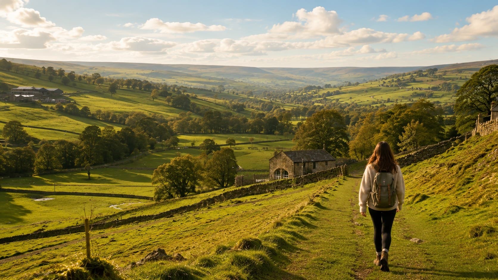
If the other walks on this page are tasters, the Nidderdale Way is the full meal. This 53-mile circular route takes in the complete breadth of the Nidderdale National Landscape, from the lower dale around Pateley Bridge up through Lofthouse, Middlesmoor and Scar House Reservoir at the head of the valley, before returning via Brimham Rocks and the eastern moors. Most walkers complete it in four stages over a long weekend, using Pateley Bridge or villages along the way as a base.
Key facts
- Start point
- Pateley Bridge town centre
- Parking
- Park in Pateley Bridge if starting and finishing here, or arrange transport back to your car if breaking the route into one-way stages.
- Terrain
- A genuine mix: riverside paths, farm tracks, moorland crossings and some road walking through the villages. Underfoot conditions vary considerably with the weather, especially on the higher moorland sections.
- Dogs
- Dogs are welcome throughout, on leads near livestock, which you will encounter regularly given the route passes through working farmland for most of its length.
Highlights
- +A complete 53-mile circuit of the entire Nidderdale National Landscape
- +Passes through Lofthouse, Middlesmoor, Scar House Reservoir and Brimham Rocks
- +Four manageable stages, ideal for a long weekend
- +The single best way to properly understand the shape and scale of the dale
The route
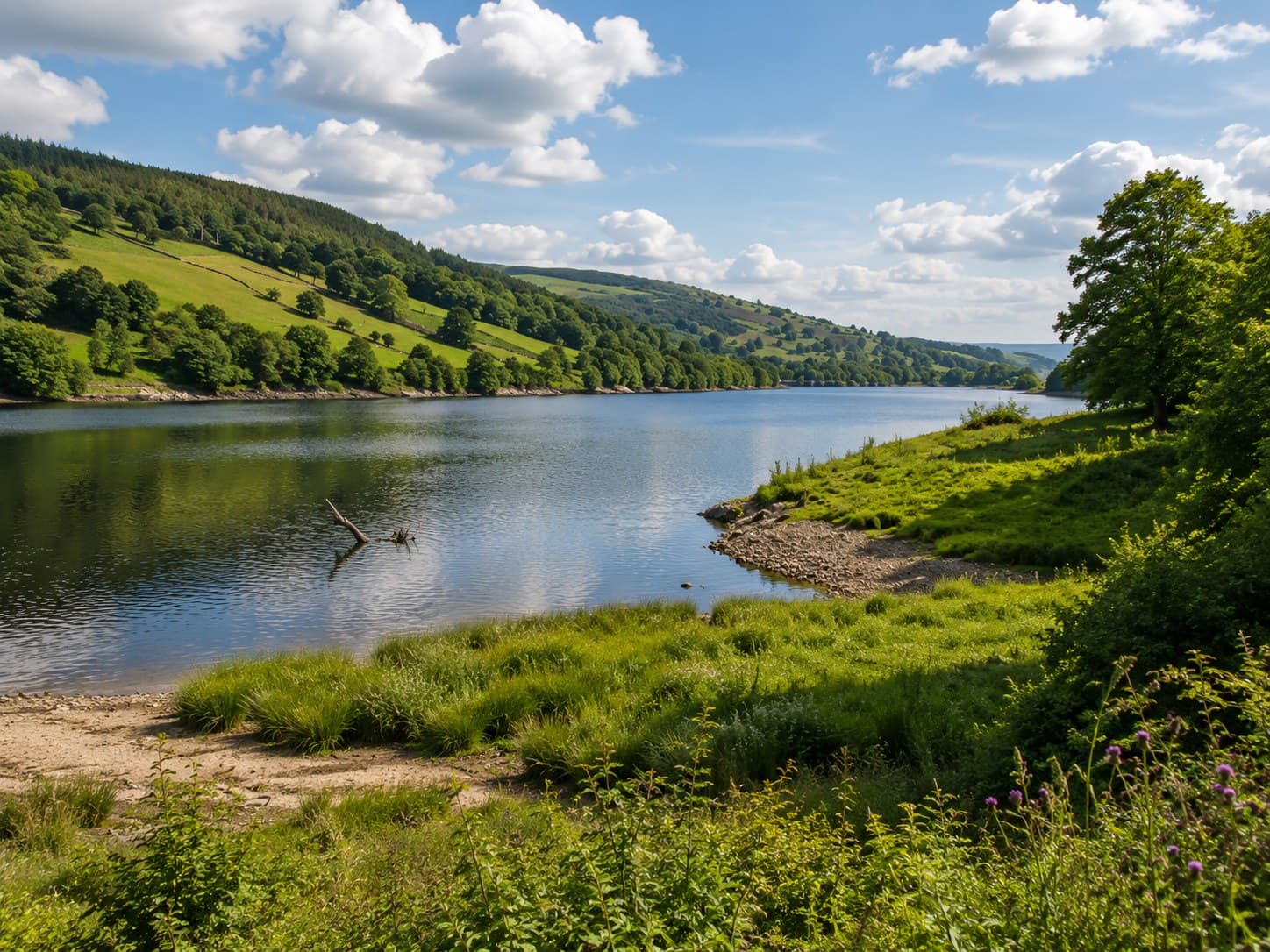
Stage one typically heads up the dale from Pateley Bridge, following the River Nidd and the shore of Gouthwaite Reservoir through Wath and Ramsgill, before climbing towards Lofthouse. This stage covers much of the same ground as the Gouthwaite Reservoir walk, extended further up the valley.
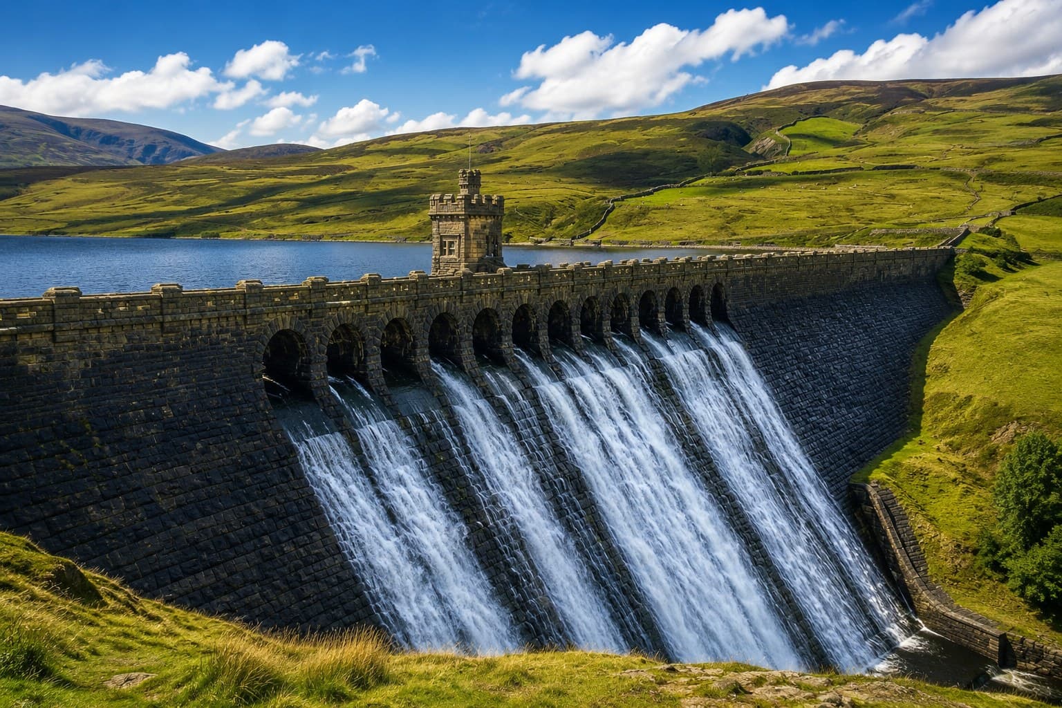
Stage two continues from Lofthouse up to Middlesmoor, one of the highest villages in the Yorkshire Dales, and on towards Scar House and Angram Reservoirs at the very head of Nidderdale. This is the wildest and most remote section of the whole route, sharing ground with the Scar House Reservoir circuit.
Stage three turns south and east, crossing open moorland and farmland on the eastern side of the dale, a quieter and less-walked stretch that rewards those who complete the full circuit rather than just the popular sections nearer Pateley Bridge.
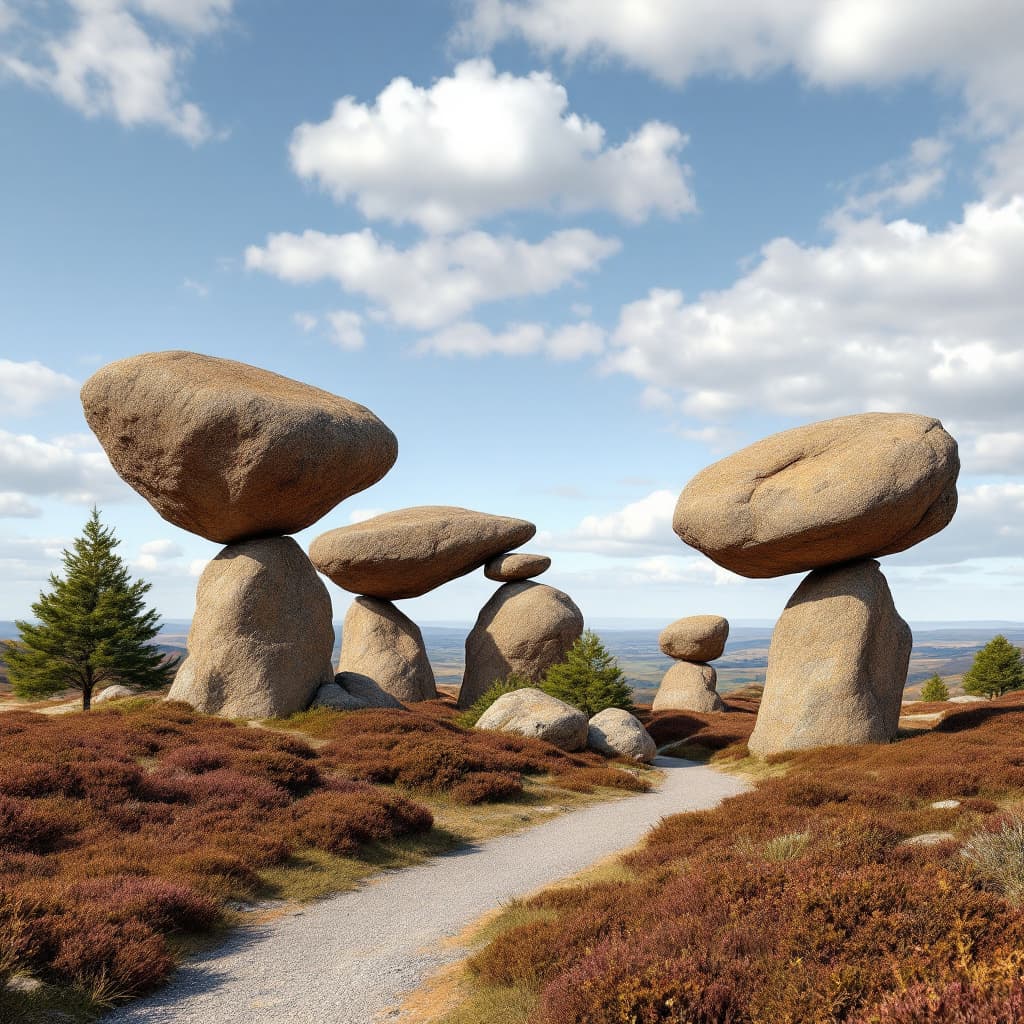
The final stage brings the route back towards Pateley Bridge via Brimham Rocks and the lanes above Glasshouses, retracing some of the ground covered by the shorter Brimham Rocks walk before completing the loop back into town. Accommodation along the way is essential for a multi-day attempt, and bookings should be made well in advance in summer.
Good to know
- Accommodation
- Booking ahead is essential in summer. See our places to stay guide for options in Pateley Bridge and the villages along the route.
- Route guide
- The Nidderdale AONB Partnership publishes a free PDF guide with OS map extracts and route descriptions for all four stages.
- Resupply
- Pateley Bridge, Lofthouse and the villages along the way have shops and pubs, but plan carefully on the more remote moorland sections.
- Doing it in parts
- Many walkers tackle individual stages as day walks rather than the full multi-day route. Several of the other walks on this page overlap with sections of the Way.
MAKE A DAY OF IT
Plan the rest of your day around this walk.